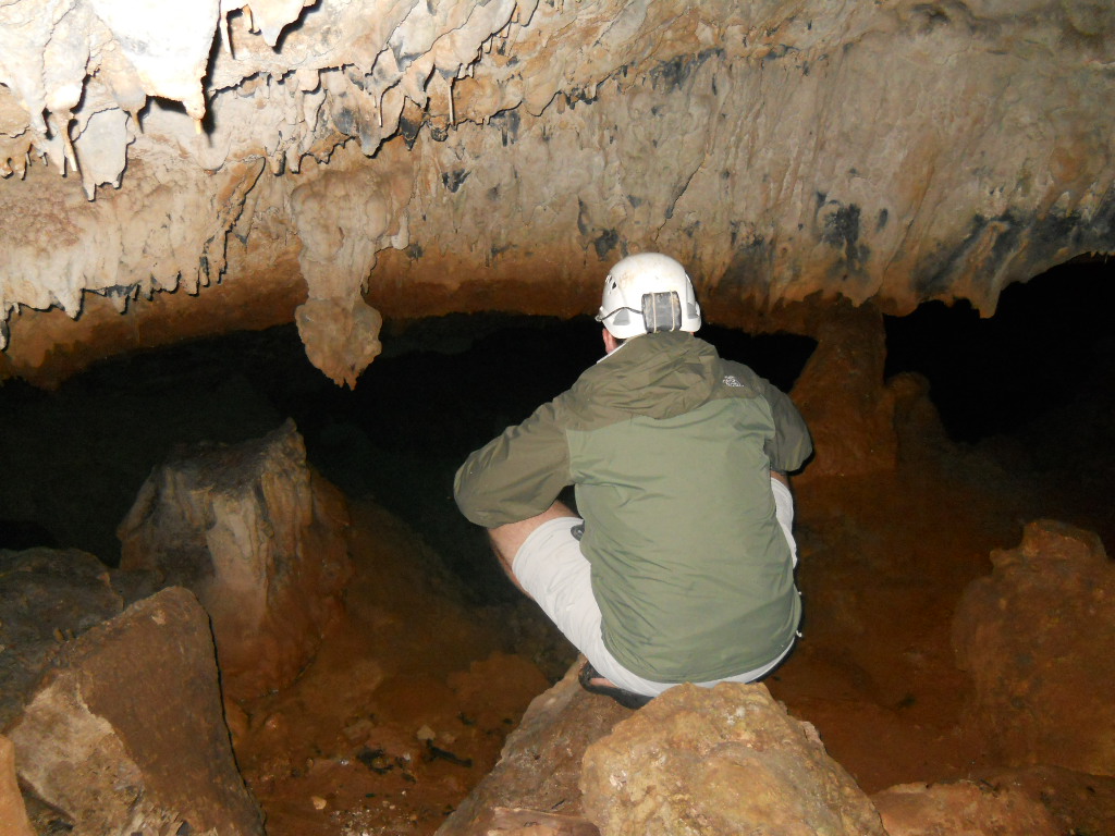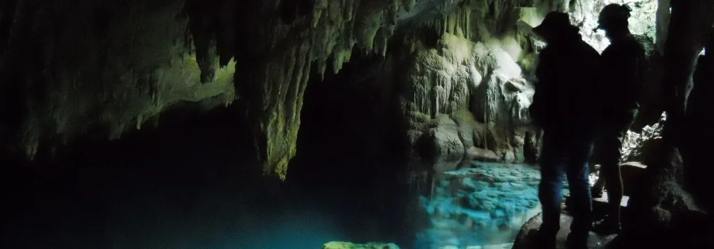
The islands of Bermuda are underlain with limestone. Like most limestone areas, the karst regions hold particular interest to locals due to its intimate relationship with fresh ground water. Bermuda is unique, however, in that as a nation, it has almost no surface freshwater, relying on subsurface resources, rainwater, and manufactured freshwater. The caves in Bermuda provide an intimate look at, and access to, the island nation’s freshwater resources, as well as an in situ biological laboratory where the unique fresh and saltwater flushing of the mostly coastal underwater caves creates unique dark adapted habitats. In 2010, Dr. Tom Iliffe from the University of Texas at Galveston invited Christina Richards and I to Bermuda to map some of the underwater caves for his tidal research. With the assistance of one of the local Bermudan cave divers, we spent three weeks in the water making grade 4 maps of two of the most complex systems on the islands. The fantastic cave formations, active animal life, and constant battle with tidal surge within the caves made the mapping and even some exploration eventful and exciting. Landowners above the caves were both horrified and fascinated to see the caves grow below their homes as we compiled survey data each night, ultimately producing 8,828 feet of survey and detailed full color maps.